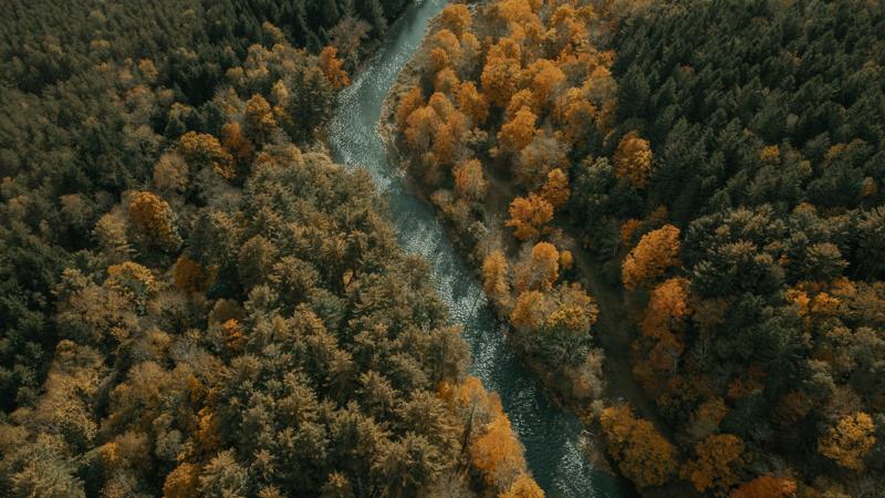
Terrain from the air
Low-altitude LiDAR turns forests, construction sites and quarries into dense, accurate 3D point clouds, including the ground under tree cover.
Airborne Subsurface Intelligence
Drone mapping for the ground, what’s under it and what’s under the water, so crews know before they dig.
The gap
A locate request puts paint on the ground. It keeps everyone on the right side of the law, but it doesn’t tell a crew everything that’s down there.
Paint and flags place a line within a tolerance zone on either side, not at an exact point.
Service laterals, site electric and other privately owned lines usually fall outside a locate.
A mark on the surface says nothing about how deep a line runs until someone digs to it.
What we map
Drones cover large, rough or unsafe ground quickly, with fewer people in harm’s way.
Low-altitude LiDAR turns forests, construction sites and quarries into dense, accurate 3D point clouds, including the ground under tree cover.
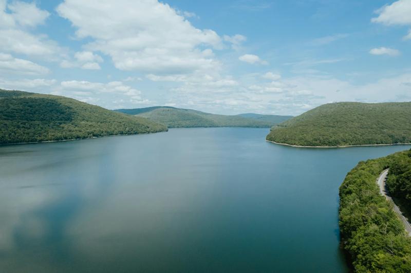
Green-laser LiDAR reads riverbeds and shallow water from the air, and acoustic flow profiling measures depth, velocity and discharge where boats can’t safely go.
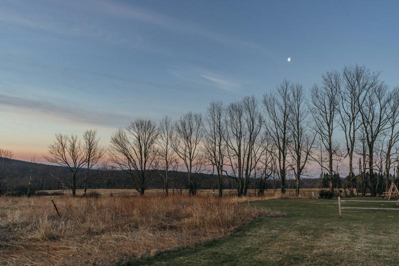
Subsurface sensing and utility mapping built for the 811 damage-prevention world, with every line documented to an ASCE 38 quality level.
Deliverables
Classified ground, vegetation and structures.
LAS · LAZ · E57Bare-earth terrain models and contour lines.
DXF · DWG · LandXMLMeasurable, georeferenced aerial imagery.
GeoTIFFMapped features with their attributes.
SHP · GeoJSON · KMZRiverbed surfaces, depths and flow profiles.
LAS · CSV · PDFEach line mapped, labeled by type and marked with its quality level.
DWG · SHP · PDFMethods, accuracy and limits, written in plain language.
PDFDelivered in the coordinate system your project uses, such as NAD83 / New York State Plane.
How it works
We agree on the area, the accuracy you need and the files you want back.
Flights follow FAA Part 107 rules and your site’s safety plan, planned around airspace and weather.
Raw data becomes classified point clouds, surfaces and maps, checked against ground control.
You get the files, a plain-language report and a call to walk through them together.
About
Chad is a heavy-equipment mechanic based in Binghamton, New York, with fifteen years keeping machines running. Snowball IMN is what he’s building toward: drone mapping that gives crews a clearer picture of the ground — and what’s under it — before they dig.
Designed with the people who dig, not just the people who fund.
Chad, founder, Snowball IMN LLC

Contact
Snowball IMN is lining up its first projects across upstate New York. Send a few details and we’ll follow up.